Agricultural Land Classification (ALC) is the system used in England and Wales to grade the quality of agricultural land.
The National Planning Policy Framework requires planning applications on greenfield land to be supported by an ALC assessment to ensure that the impact on best and most versatile (BMV) land is appropriately considered in planning decisions.
The principal physical factors influencing agricultural productivity are climate, site and soil, and the interaction between them. These determine whether land falls into Grades 1, 2, Subgrade 3a, Subgrade 3b, 4 or 5.
LDC deliver high‑quality ALC surveys that accurately identify Best and Most Versatile (BMV) land giving developers and planners a clear understanding of land quality and make informed decisions about their site’s suitability for development, design mitigation and its relation to planning policy.
LDC provides intrusive ALC surveys, grounded in technical expertise, extensive field experience and a proven track record across large, small, and linear development routes; to provide clear, defensible findings and and scoping opinions suitable for planning submissions, hearings and full integration into Environmental Impact Assessment (EIA) processes
We also undertake semi‑detailed ALC surveys to support strategic planning, providing reliable early‑stage land quality information to support targeted planning approaches on large scale potential development sites and inform PEIR (Preliminary Environmental Impact Assessment).
LDC also are able to undertake land quality surveys in Scotland under the LCA (Land Capability assessment) methodologies as similarly required under Scottish policy.
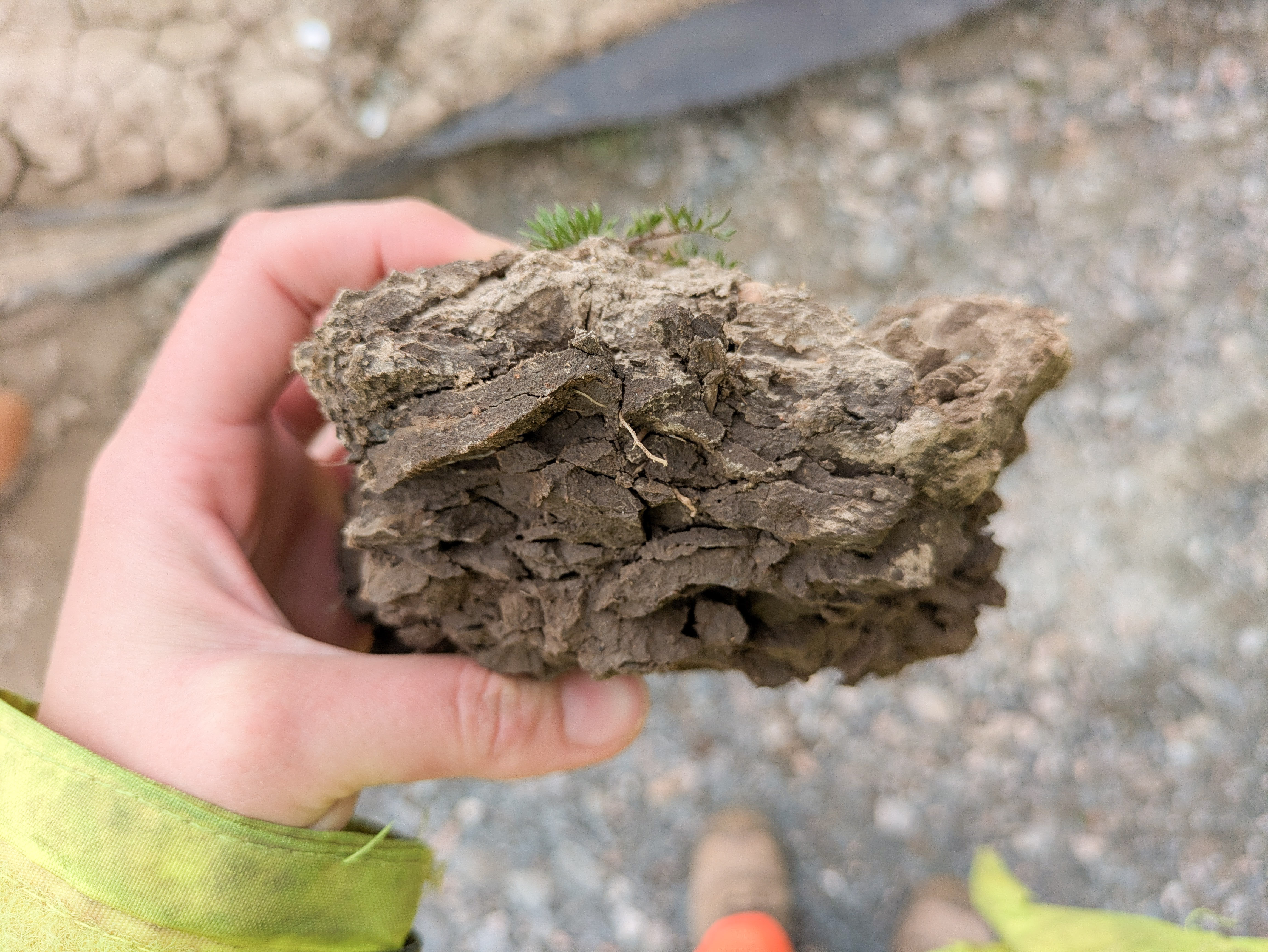
LDC also undertakes detailed soil classification surveys in accordance with the nationally recognised methodologies set out in the Soil Survey Field Handbook (Cranfield University, 2022) and the classification framework defined in Soil Classification for England and Wales (Avery, 1980).
These references provide the standardised approach for describing soil profiles, recognising diagnostic horizons and differentiating soils into their correct soil associations and soil series, supported by the criteria outlined in Clayden & Hollis (1984).
Survey work involves the excavation and description of soil profiles in a consistent, standardised format, enabling accurate classification that can feed into wider soil mapping operations, consolidate existing maps and also wider research and development uses.
Our soil classification surveys are undertaken by field scientists who have been closely mentored by senior soil specialists in the industry and are experienced across a wide range of UK soil types. Our survey teams are recognised by Natural England as holding the technical skill base required to carry out these surveys in accordance with Soil Survey of England and Wales methodologies.
LDC delivers comprehensive Soil Resource Assessments (SRAs) and Soil Management Plans (SMPs) that support the sustainable use of soils during construction and restoration.
Accurate baseline soil data is essential for developing soil‑specific management plans that protect soil function throughout the construction phase.
Soil types, drainage behaviour and sensitivity to handling can vary significantly across a site and these differences directly influence how soils should be stripped, stored, moved and reinstated.
By characterising these conditions in detail, alongside our practical understanding of soil behaviour, land drainage systems, and agricultural land use, we prepare management plans that give contractors the tools to protect soil quality, ensure appropriate reuse and reinstatement of land to a high standard and to agricultural productivity
The findings of our soil resource surveys are not only technically robust but also grounded in real‑world land management considerations and decades of experience working with the construction sector.
We prepare practical, contractorready SMPs that align with best practice guidance to set out clear methods for stripping, storage, movement and reinstatement, tailored to the specific soil types and constraints of each site, drawing on our experience of construction in the countryside.
Our experience spans major linear development routes, where soil handling and drainage require careful planning to avoid degradation and ensure safe working conditions. As well as small, medium and large permanent developments where soils are moved or stockpiled to facilitate construction.
LDC also provide ad-hoc consultancy to sites that may be experiencing or have inherited issues with soils/ground conditions on site.